Living and working and playing on Montana’s Rocky Mountain Front is pretty epic when you stop to consider just exactly how wonderfully the entire area is built.
Geologists have spent a great deal of time over the years working out just how the Rocky Mountain Front came to be, from mapping the numerous fault zones to determining the types and kinds of strata involved with all of the uplift.
The Rocky Mountain Front is characterized by the fold-and-thrust belt system (see Geologic Map of Choteau Quadrangle; thrust faults are mapped with the ‘sawteeth’ on the upper block (hanging wall) of the thrust fault. Generally, the thrust faults run northwest-southeast and dip (point) to the southwest (propagating the formations towards the east-northeast).
Thrust faults often have a deep-seated sole thrust (a decollement), and as the upper plate is transported, a series of subsidiary thrust faults “ramp up” through the stratigraphic section. This creates an imbricate thrust zone. The thrust faults propagate through the system repeating the stratigraphic units as shortening continues. The youngest movement will occur along the front edge of the thrust system.
To get a better view of how the Rocky Mountain Front was and is being built even today you can view this animation created by Paul Karabinos, Department of Geosciences, Williams College below:
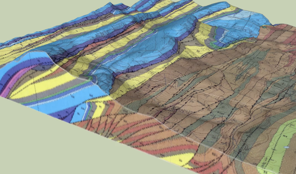
This 3D block diagram was made using Trimble SketchUp.
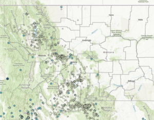
Western Montana is riddled with a great number of faults as a result of this fold-and-thrust belt system.
2,000 to 3,000 Northern Rocky Mountain earthquakes happen in a typical year. Most of these earthquakes did not cause significant ground shaking but even still, the Northern Rocky Mountains are definitely still on-the-move.
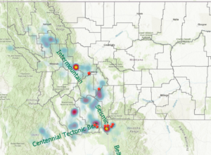
Our Montana home is a seismically active state. Large historical earthquakes as well as modern frequent small and moderate-sized earthquakes demonstrate the very real possibility of future damaging earthquakes. Seismologists as of yet, still can’t predict the specific times, locations, and magnitudes of future earthquakes, but past experience says that future seismic activity is most likely to occur in regions where previous earthquakes were common.
In Montana, most—but not all—earthquakes occur in the western one-third of the state along two related zones named the Intermountain Seismic Belt and the Centennial Tectonic Belt.
The Rocky Mountain Front has a rugged beauty all it’s own — A rugged beauty that couldn’t exist if it weren’t for the tectonic forces involved.
Knowing the science behind the creation of our Rocky Mountain Front just makes it even more beautiful than it ever was before.
sourced:
Sarah Anne Devaney, Department of Earth Sciences, Montana State University
Paul Karabinos, Department of Geosciences, Williams College

